El Niño fuels record rain totals in the Southwest
A strong warming cycle has pushed water totals to 20 trillion gallons in two weeks, prompting evacuations in New Mexico and Arizona.
By Austin Reed ·
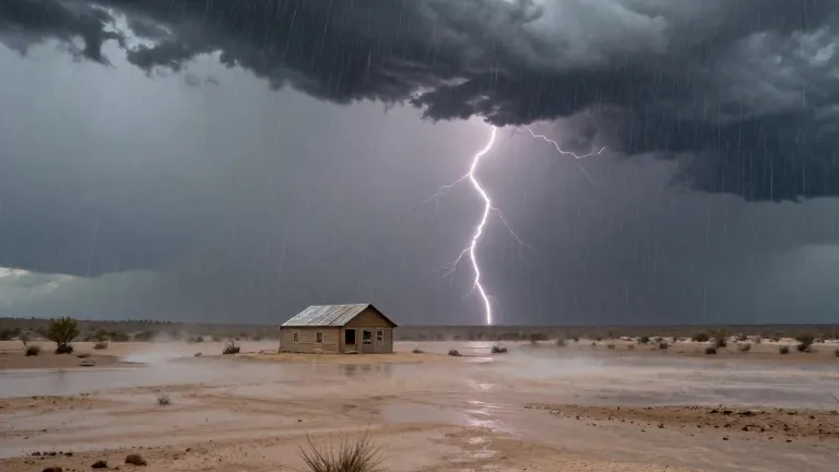
Meteorologists confirm that an intense El Niño event is driving heavy rainfall and flooding across the American Southwest. The warming of Pacific Ocean waters is adding moisture to the atmosphere and shifting wind patterns toward the region. This combination creates ideal conditions for severe storms. Desert landscapes struggle to absorb the sudden volume of water, leading to flash floods. Evacuations were ordered in northern New Mexico and central Arizona on Sunday. A town in Colorado prepared for its main river to rise to dangerous levels. Another wet storm system flooded southwestern states last week.
The current weather pattern has developed over the past two weeks. Former National Oceanic and Atmospheric Administration chief scientist Ryan Maue calculated that more than 20 trillion gallons of water fell on the Four Corners states and Nevada during that period. Climate scientist Daniel Swain of the University of California Agriculture and Natural Resources noted that precipitation in the Southwest interior is common this time of year. However, he stated that the current degree of rainfall is higher than previous records. Meteorologist Jeff Masters of Yale Climate Connections described the current situation as a super duper El Niño. He noted that while strong events have occurred in the past, this iteration is particularly extreme.
The phenomenon is not the sole cause of every storm, but it increases the likelihood of intense rain. Scientists explain that El Niño adds fuel to passing weather systems. It also redirects strong air currents toward the Southwest. Randy Cerveny of Arizona State University pointed out that global ocean temperatures are already higher than they were 100 years ago. This baseline warmth makes El Niño events more intense. The shift in weather patterns affects regions beyond the United States. Peru and Ecuador are experiencing record-breaking flooding. Parts of southeast Asia, including Indonesia, are drier than usual.
Experts expect the El Niño to peak in December. At that point, it will interact more strongly with jet streams. This interaction can produce extreme storms across the western United States. The effects may continue for several months after the peak. Park Williams of UC San Diego's Scripps Institution of Oceanography said in an email that the odds are high for more heavy storms this winter and spring. Cerveny warned that the heating of the Pacific Ocean has not yet reached its maximum. He predicted that similar events will continue to occur.
The rain provides some benefits to the region. It fills reservoirs and adds moisture to drier areas. However, the storms pose risks to people and property. Officials recommend that residents watch the forecast and plan ahead. They also urge the public to follow evacuation warnings from local authorities. The current weather system remains active as the season progresses. Meteorologists will monitor the shifting air currents and ocean temperatures in the coming weeks.