
Weekend Frost Threatens Deep South After Cold Front Arrival
Temperatures will fall from the 80s in the midweek to the 30s in northern inland areas by Sunday morning, bringing a risk of patchy frost to residents.
By Bianca Herrera ·
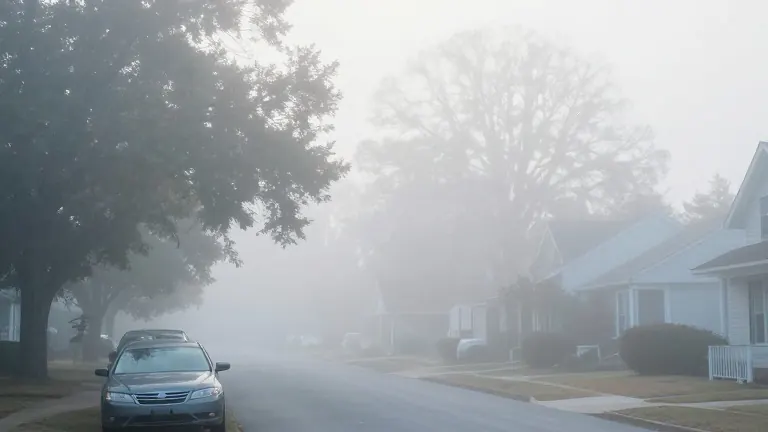
Residents in Mobile, Alabama, and the surrounding Gulf Coast region will experience a sharp drop in temperatures this weekend following a cold front that arrived Wednesday. The shift in weather patterns will replace mild autumn conditions with crisp, chilly air, forcing locals to prepare for overnight lows that may freeze surfaces in specific areas.
The meteorological change began Wednesday as the front pushed into the region. This movement generated passing showers and storms while creating a high risk of rip currents along the beaches. The storm activity cleared overnight, leaving behind partly cloudy skies and evening temperatures in the lower to mid-60s. Dense fog formed late Wednesday night and into early Thursday due to lingering surface moisture, potentially affecting morning traffic.
Thursday and Friday will remain relatively mild as the front stalls across the area. Afternoon highs are expected to reach the lower 80s on Thursday, with a mix of sunshine and clouds. A secondary disturbance will push the front through to the coast on Friday, bringing a slight chance of a passing shower before clearing. Temperatures on Friday afternoon will top out in the upper 70s before cooler air begins to filter in.
The most dramatic change occurs over the weekend. Saturday will feature mostly sunny skies with high temperatures in the middle 70s. Sunday will see highs struggling to leave the 60s. Overnight lows will drop into the 40s across coastal and central counties. Far northern inland communities will see temperatures dip into the mid-to-upper 30s, where patchy frost is possible.
Forecasters note that the initial energy from the front pulled away quickly on Wednesday evening, causing rain chances to drop off. The current stall in the system allows for a brief window of warm weather before the secondary disturbance takes effect on Friday. This sequence of events sets the stage for the significant cooling expected by the weekend.